Work / No. 08 / Information
Maps and Plans
Aerials and floor plans that make a location readable at a glance.
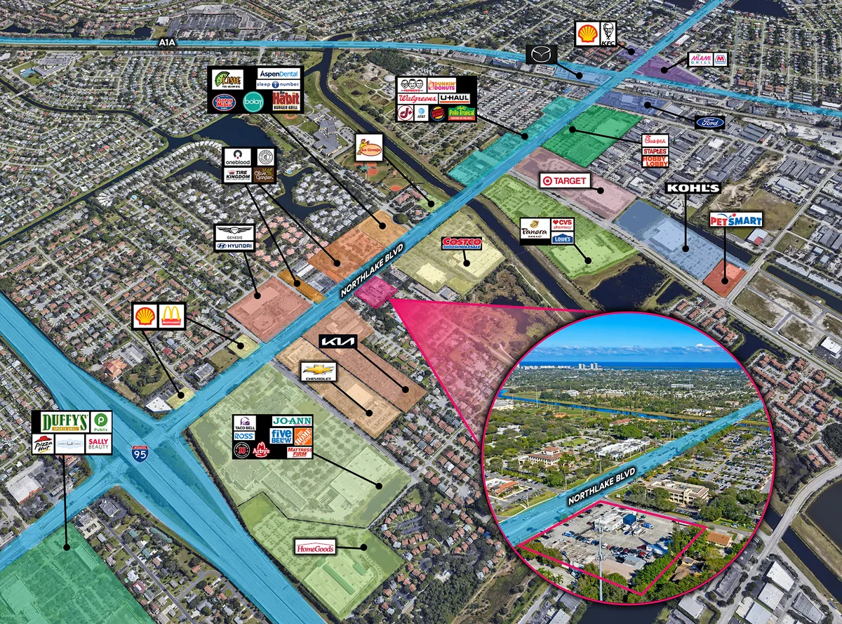
A trade area aerial has one job: show a buyer who the neighbours are. Each one starts as a drone or satellite image, then roads are tinted, parcels are outlined and every retailer logo is placed and tagged by hand.
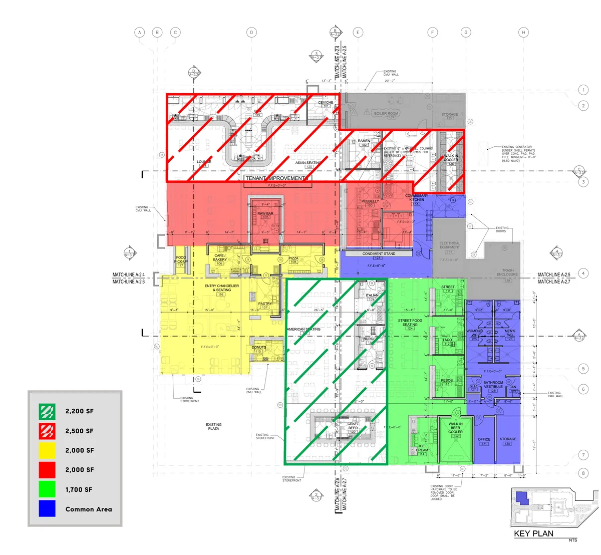
The leasing floor plan takes an architect’s drawing and divides it into suites by colour, with a legend of square footages, so a tenant can find their space without reading a blueprint.
Trade area aerials
2 pieces
Leasing plan
1 piece